
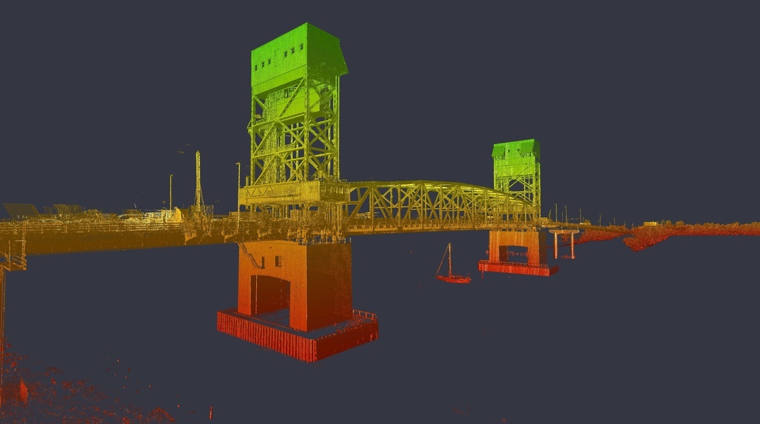
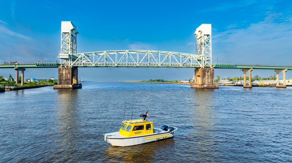
The Cape Fear Memorial Bridge is a four-lane vertical-lift structure carrying U.S. 17/76/421 traffic across the Cape Fear River in Wilmington, N.C., one of the fastest growing areas in the United States. Built in 1969, the critical link for commuters, freight operators, and emergency routes to and from the Port of Wilmington no longer meets modern transportation demands and is slated for replacement.
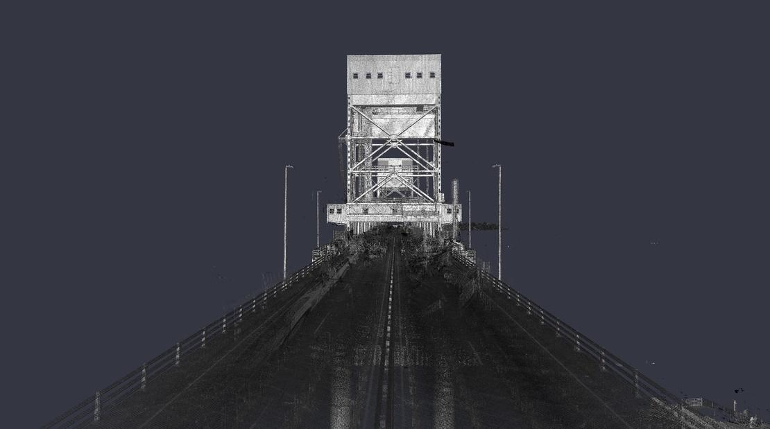
Before design could begin, the North Carolina Department of Transportation (NCDOT) required a comprehensive, survey-grade 3D scan of the bridge’s roadway features to establish a precise digital foundation for replacement planning. The challenge was to collect highly accurate spatial dataon a dynamic, high-traffic bridge—without endangering field personnel, disrupting daily travel, or sacrificing precision.
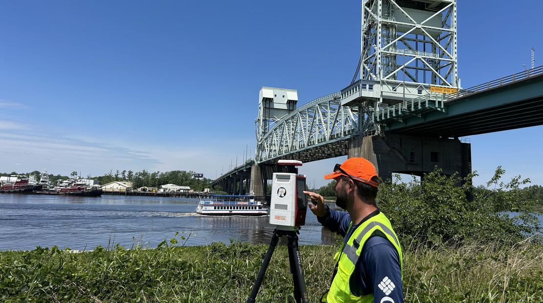
To overcome access and vibration constraints, McKim & Creed employed a hybrid data-collection strategy that merged static and mobile lidar. Using a Riegl VZ600i terrestrial laser scanner, the team first collected high-resolution static scans from protected areas near the tender house, bridge deck and approaches. These datasets anchored a Riegl VMX-2HA mobile lidar system mounted on a Chevrolet 2500, equipped with dual GNSS antennas, IMUs, and high-resolution cameras. Data was collected at posted traffic speeds—eliminating lane closures while ensuring continuous coverage and dense point-cloud precision.